CasualBystander
Celestial
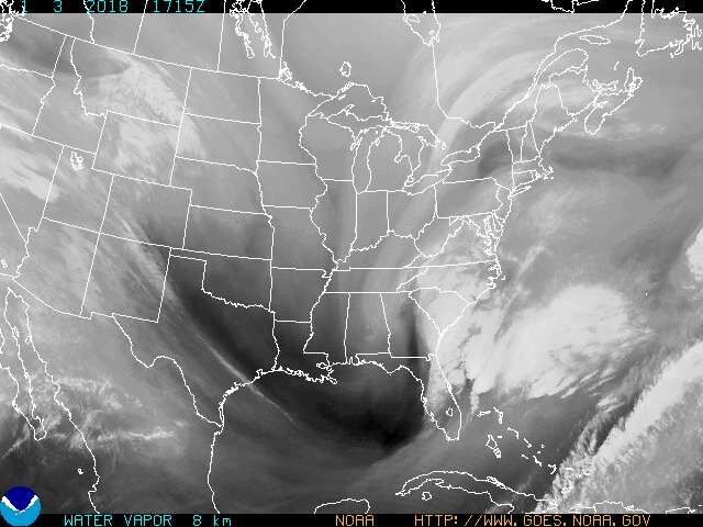
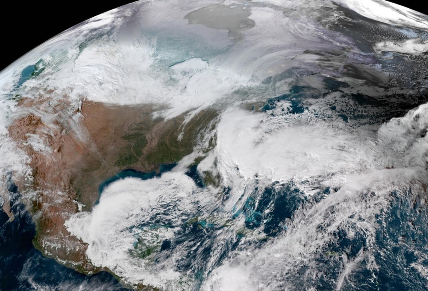
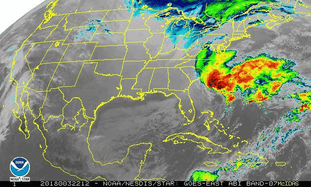
Well...DC is not out of the woods just yet. This will be a "nowcast" storm. It's so strong computer models and weathermen who have been forecasting for many years don't even know what this storm is going to do. They simply have never seen anything like it.
Atmospheric conditions are quasi-chaotic so it is too early for a victory dance.
The last prediction I saw had it too far out to sea to be truly devastating.
But a tongue of tropical air driving north into a polar air mass does have potential.
Whether or not it gets sucked/driven inland as you believe will significantly affect the outcome.