Unearthing a town stuck in time

Castle-Yankee54

Celestial
This was located on Mount Tom somewhere right? I could never remember if that happened there or on Skinner. Because I'm pretty sure the building located on top of Skinner burnt down before too.

The write up about it said one was built around 1900 and burned down 3 years later....and the second one burned down in 1929. Didn't check across the Connecticut river
 

starsfall

Believer
The write up about it said one was built around 1900 and burned down 3 years later....and the second one burned down in 1929. Didn't check across the Connecticut river
Well there was a bigger gap between the two burning down than I originally thought. Over two decades time.

"The first Summit House lasted only a year before it caught fire and burned to the ground. A new Summit House of a more lavish design was built in it's place. The unique design of the new building received national attention. A huge facility, with observation decks and a dining room, the Summit House on Mt. Tom was visible from miles away. But in 1929 another fire completely destroyed this second structure.

The Summit House was quickly replaced by, what was generally agreed to be, an unattractive, fireproof pavilion. But it was too late. The stock market crash of 1929 heralded the beginning of the Great Depression and the crowds never returned to the mountain. In 1938, vandals destroyed the last Mt. Tom Summit House. The trolleys that once carried visitors to the Summit House were now used carry it's remains off the mountain. Later that same year, the inclined railroad was dismantled and the trolleys stopped running to the Mt. Tom summit."

I hiked to the top of Skinner at least a dozen times by this point, and it's hard to say which one has more wilderness encapsulating it.

Here's a map of Skinner:

http://www.umass.edu/mycenter/documents/bb/WesternMAStateParks.pdf
 

starsfall

Believer
Yeah I suppose "wilderness" isn't the best term for either. I'm taking it as you also live in New England?
 

starsfall

Believer
Well it's nice to meet someone else on here that shares it as a home.
 

starsfall

Believer
If you go down by the Connecticut River in the notch on the Mount Tom side there are dinosaur foot prints you can see at low water.
The dinosaur footprints? Yeah I've been there a few times. The only issue is parking. The little circlet they have for it is usually full at a maximum of three or four cars, and in the winter they don't bother plowing the area so there's no way down unless you park somewhere far down the road and trek down. It's a really cool little spot to relax, in my opinion.
 

starsfall

Believer
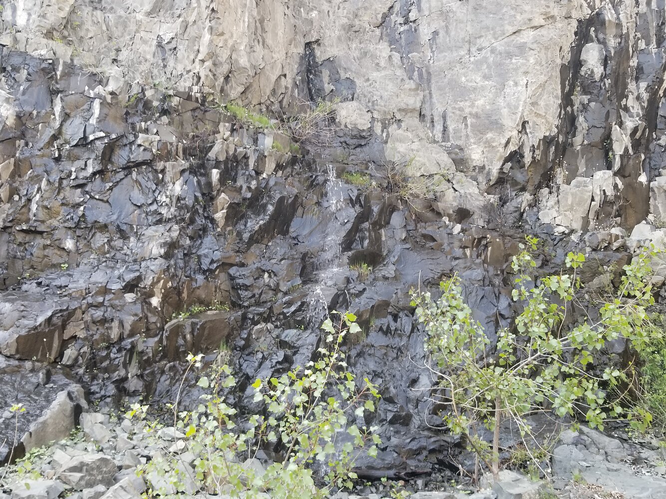
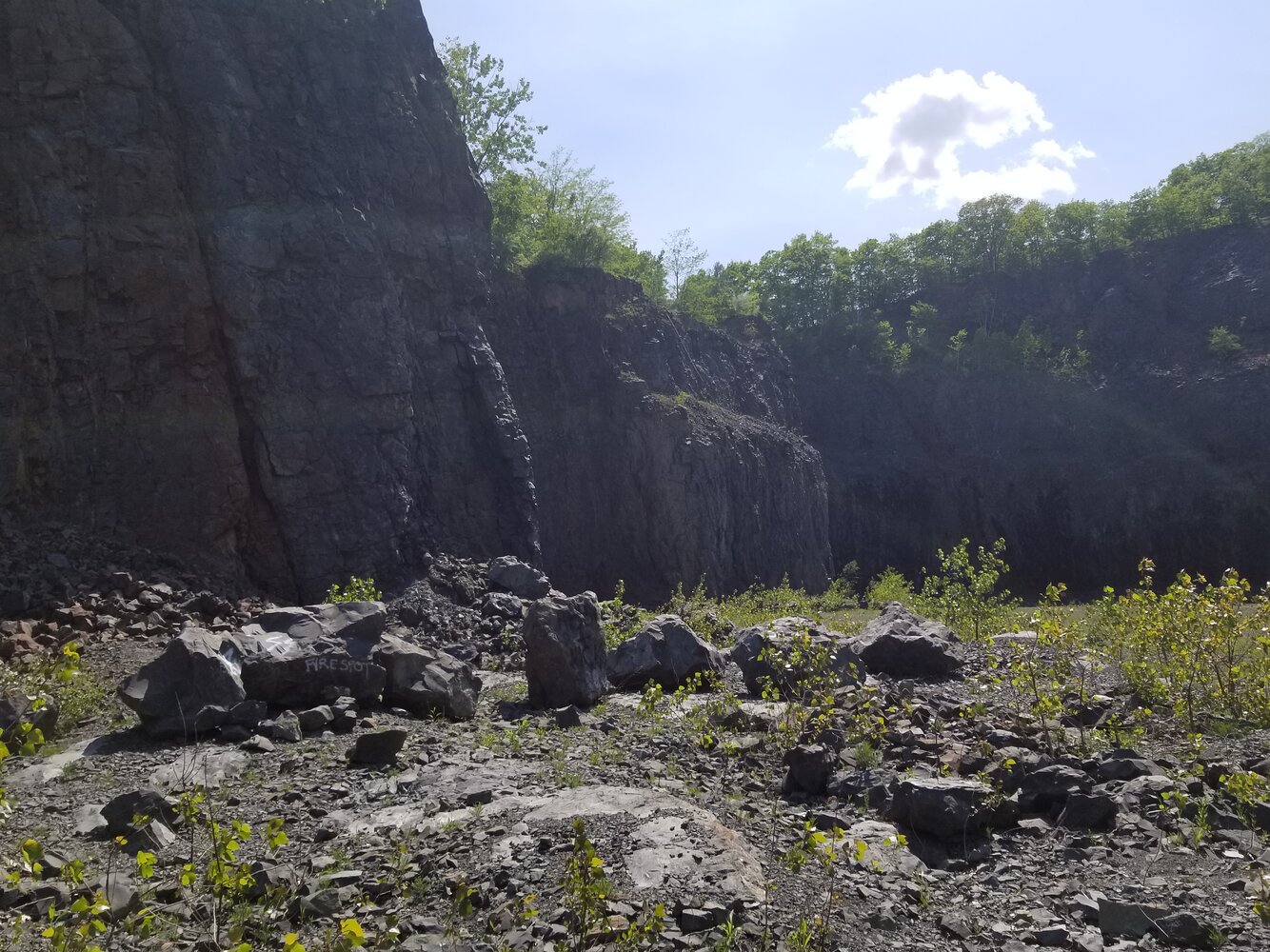
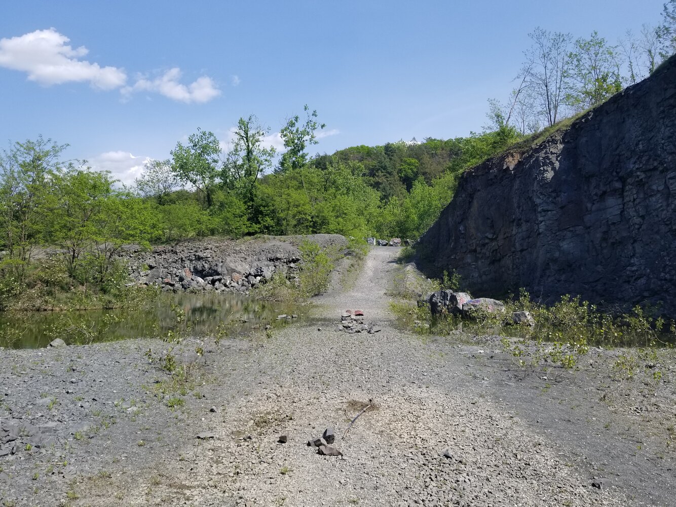
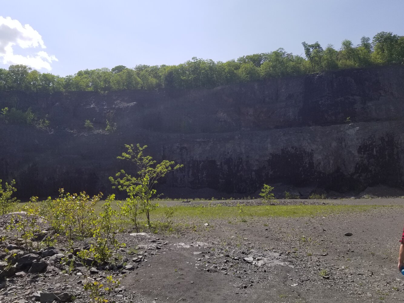
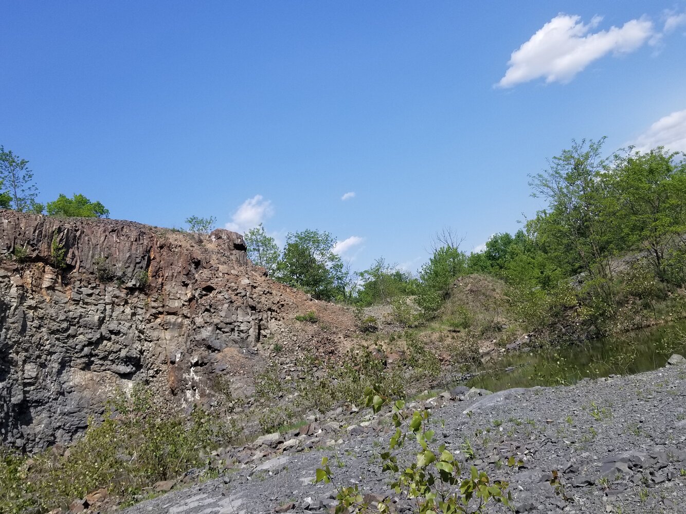
@Castle-Yankee54 I went back recently, not to the abandoned building area, but was at the reservation and saw on one of the trail maps "quarry trail", and followed it. It led me to the opening opposite of where I saw it from years ago, I was actually in the bottom of it. You can see all the surrounding sides above, and in one of the pictures I could make out the spot I looked down from.

There was a lot of evidence of parties, empty bottles, a bonfire, graffiti... one thing that caught my interest was a boulder that had writing on it, "It's a long way down..." with an arrow pointing down and left, at what looked like a pit that was filled up with gravel or smaller rocks.

Didn't run into another soul the entire time, except for my friend that came with me.
 

Attachments

  • 20180523_145939.jpg
    20180523_145939.jpg
    4.9 MB · Views: 106
  • 20180523_150233.jpg
    20180523_150233.jpg
    5.2 MB · Views: 89
  • 20180523_145927.jpg
    20180523_145927.jpg
    4.5 MB · Views: 102
  • 20180523_145925.jpg
    20180523_145925.jpg
    5.6 MB · Views: 88
  • 20180523_145922.jpg
    20180523_145922.jpg
    4.4 MB · Views: 100

Castle-Yankee54

Celestial
@Castle-Yankee54 I went back recently, not to the abandoned building area, but was at the reservation and saw on one of the trail maps "quarry trail", and followed it. It led me to the opening opposite of where I saw it from years ago, I was actually in the bottom of it. You can see all the surrounding sides above, and in one of the pictures I could make out the spot I looked down from.

There was a lot of evidence of parties, empty bottles, a bonfire, graffiti... one thing that caught my interest was a boulder that had writing on it, "It's a long way down..." with an arrow pointing down and left, at what looked like a pit that was filled up with gravel or smaller rocks.

Didn't run into another soul the entire time, except for my friend that came with me.

Nice images.....:Thumbsup:.

That bedrock is basalt from fissure eruptions similar to the present ones in Hawaii only on a much larger scale.

Any images from the buildings?.....I'd love to see those!!
 

starsfall

Believer
Nice images.....:Thumbsup:.

That bedrock is basalt from fissure eruptions similar to the present ones in Hawaii only on a much larger scale.

Any images from the buildings?.....I'd love to see those!!

Not this time, I think we were pretty close to them according to the map, but we went left to exit the way we came in instead of going right and up the hill to where they would be. Next time I go I'll be sure to snap a few to post for you :Alien:
 

Castle-Yankee54

Celestial
Not this time, I think we were pretty close to them according to the map, but we went left to exit the way we came in instead of going right and up the hill to where they would be. Next time I go I'll be sure to snap a few to post for you :Alien:

Thanks.....I'd appreciate them.....its been a while since I was there.
 
Top